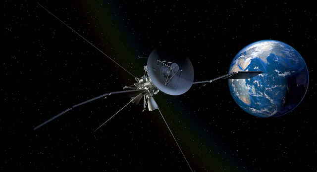
For clarity purposes, the stronger the spatial resolution the clearer the image. Image clarity is determined not by the number of pixels in an image but by spatial resolution. With respect to space, spatial resolution refers to the precision of the measurement which is closely dependent on the number of pixels per unit length in the image.
Satellite resolution imagery can be grouped into three categories: Low, medium and high resolutions. With respect to the available pixel per unit length low resolution usually fall within >100 m/pxl, medium resolution falls within 10-50 m/pxl while high-resolution imagery falls with 1-4 m/pxl.
Employ the use of high-resolution satellite imagery if you want to see how beautiful our earth is. Here are our three best places to find and download high-resolution images of the Earth
1. Earth Explorer
This service is run by the U.S Geological program. Earth explorer offers country-specific high-resolution geological mappings and datasets. To get these images to individuals the program utilizes the services of two remote sources:
- Landsat remote sensing program
- NASA land data and product services
By using a combination of dataset queries you can comb through their entire data archives.
2. Copernicus
Copernicus is one of the world’s largest Earth observation programs. It was born out of the combined effort of the European Commission (EC) and the European Space Agency (ESA). You can access their dataset for free via a publicly open data hub on their website, but to download images you will need to register as a user.
Comparing the resolution quality from that of Earth explorer I’d go for the former. Copernicus uses a creative commons license to grant general access to their datasets of high-resolution images.
3. NASA Worldview
NASA world view is one of the most powerful ways of browsing high-resolution earth images in real-time. The program has powerful dataset features that allow users to set a timeframe to download image data.
With the unique “Earth at night mode” users can explore how beautiful the earth looks after sunset with the night lights switched on. You can take a snapshot on your desktop computer and save the imagery.
Other sources of high-resolution imagery include Google Earth and Airbus. With Google earth application downloaded in your browser you can view the world we live in from the comfort of your living room. Airbus on the other hand was founded in 2014 and it’s presently the second largest space companies for Earth observation in the world.
Take advantage of SpyMeSat’s satellite image app for smartphones that has ground-breaking features and space awareness of satellite imaging passes over your location.
Characteristics of High-Resolution Images
Spatial or high-resolution images takes things to a new level giving the viewer a very good perspective of the actual nature of the image. Here are a few pros or characteristics of high-resolution images:
- With high-resolution images you have a fantastically clear view of the images because of the details brought about by the length to pixel ratio.
- Due to the use of the latest optical technology, viewers are presented with the latest and up to date data.
- High-resolution satellite imagery will allow you the luxury of monitoring current land surface conditions with pinpoint accuracy.
- High-resolution data supports our daily life in mobile applications, GPS tracking and navigation devices.
- Helps with urban planning and development
- Aids as a great educational tool for the study of geographical changes
Final Thoughts
The three sources of high-resolution imagery listed in this article are free to use for the general public. Go ahead and download high-resolution images from satellites that employ the use of state-of-the-art push-broom imaging and high-resolution optical equipment. Whatever your needs are, go ahead and make use of the extremely cost-consuming technology.
